RESIDENTIAL SITE -
OXFORDSHIRE
About
We were more involved in this project as the client wanted us to model the site & buildings so that the drawing data could be extracted to form required drawings they would need to be able to apply for Planning Approval.
The site in the outskirts of the market town in Oxfordshire, housed a small bungalow on the 7 acre site. The client proposed to replace the bungalow with three individual but similar style houses.
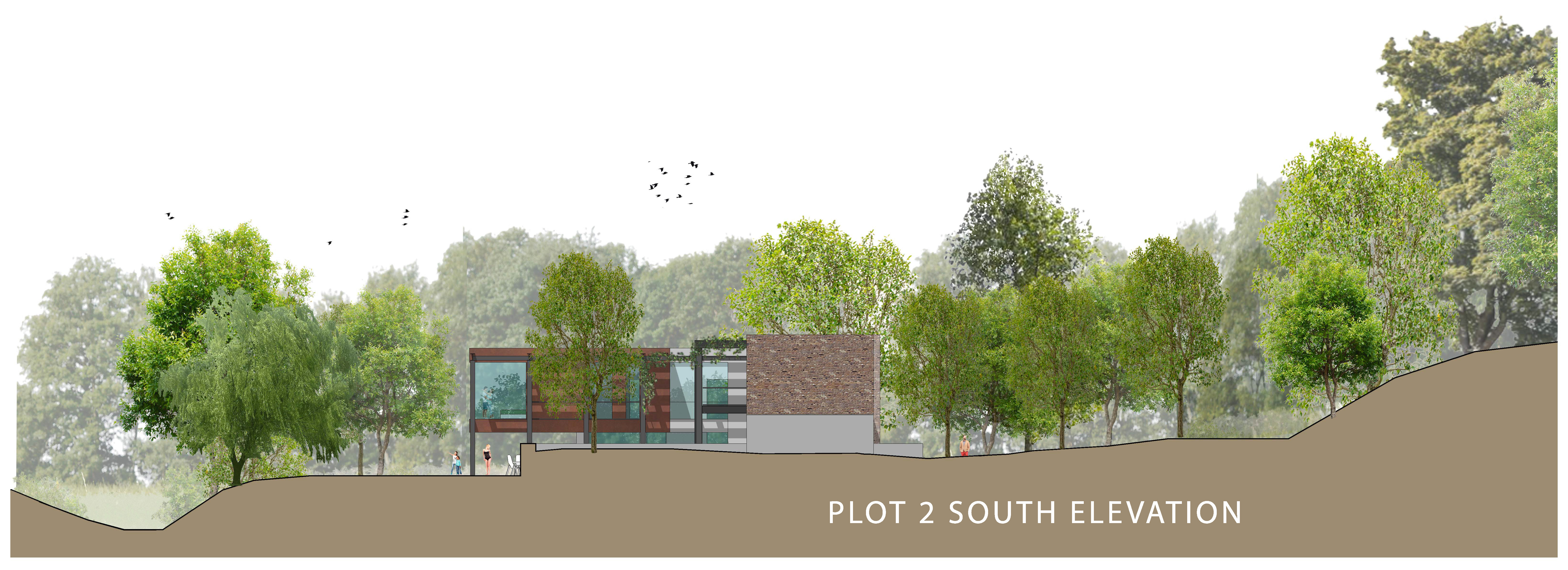
The site sloped in varying directions from the main road down to a small stream. Various trees were also a present on site, some of which had preservation orders, which meant they must remain as part of the design. On the opposite bank of the stream, vistas extended out over fields and hills to the area of outstanding natural beauty which form part of the historic Ridgeway.
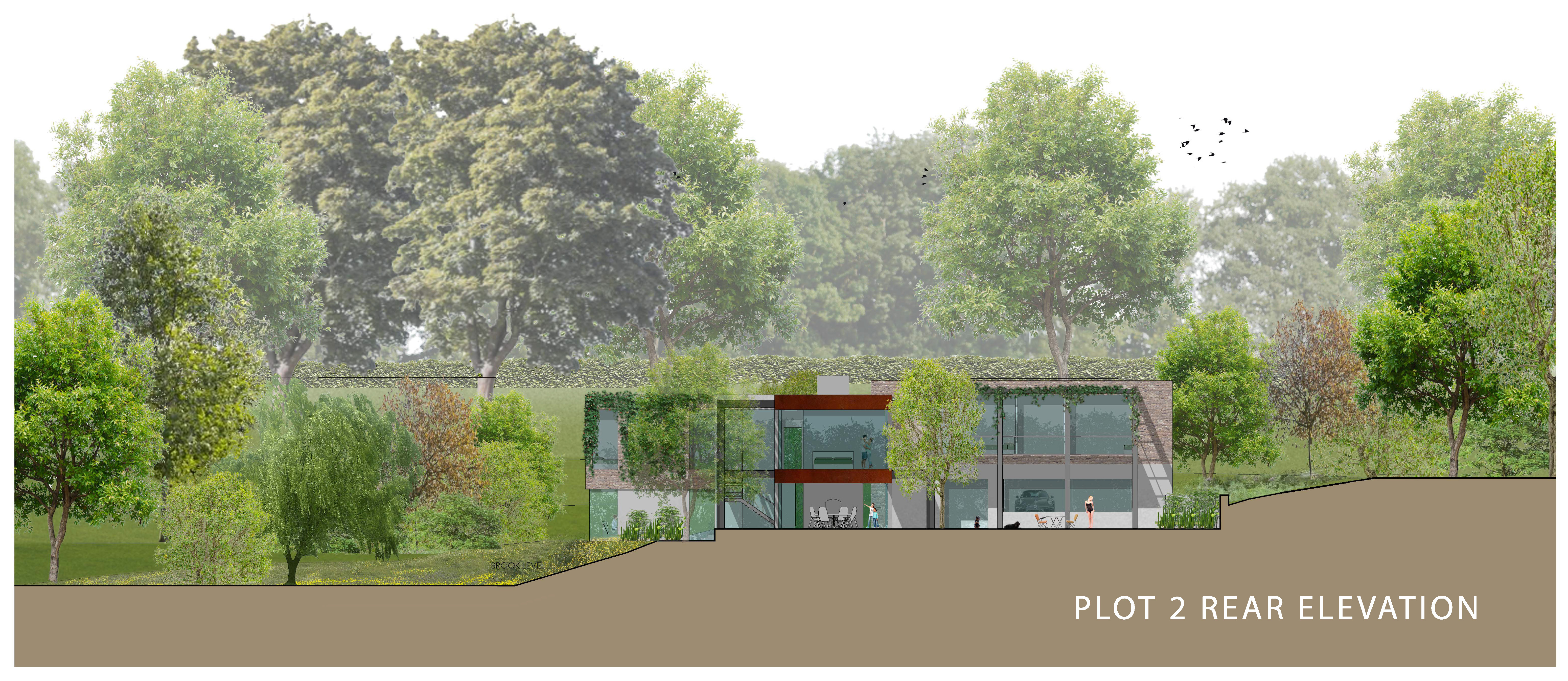
The client felt that the use of 3-D visualisation would assist them to understand how the proposed structures would sit into the sloping site. The model was also an important tool to show the local planning council that the proposed houses sympathetic to the neighbouring houses and surrounding landscape.
The sites existing sloping land was modelled using the topographical survey data, and model trees were positioned and sized to match those that exist on site. The houses were then modelled according to the proposed plans and elevations and their positions placed on the sloping modelled ground.
Access roads and paths were then drawn from the site entrance to the buildings ensuring that their gradients and steps were in accordance to UK building regulations.
Proposed trees and planting were then placed to form screening between each of the properties and more importantly from the main road. The model quickly confirmed the buildings would be low enough into the sloping site that they posed no impact onto the main road, but that they were high enough to benefit from the views over the stream. Sun path analysis also helped position structural glazing to maximise daylight into the properties and minimise solar gain in the height of summer.


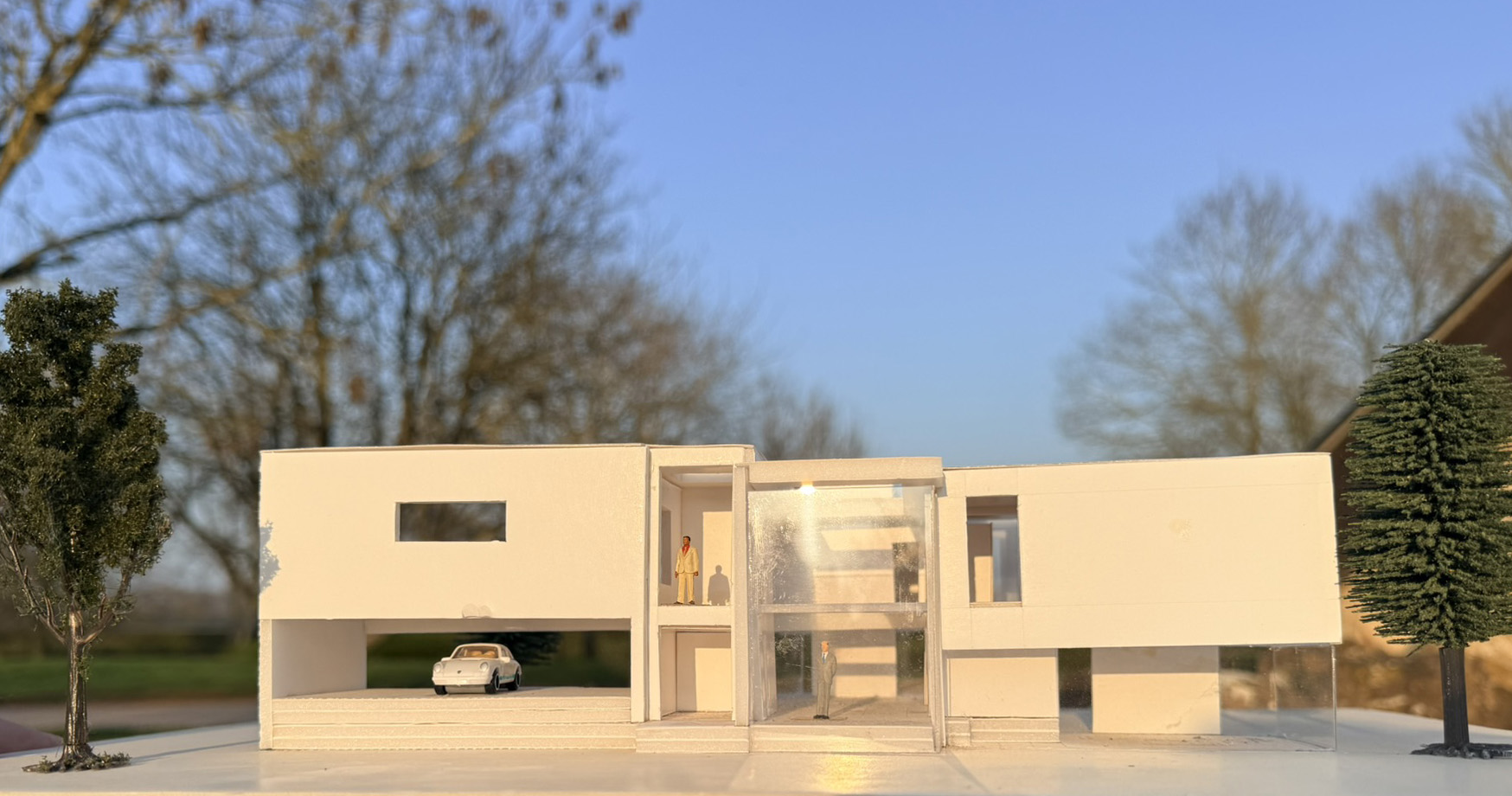
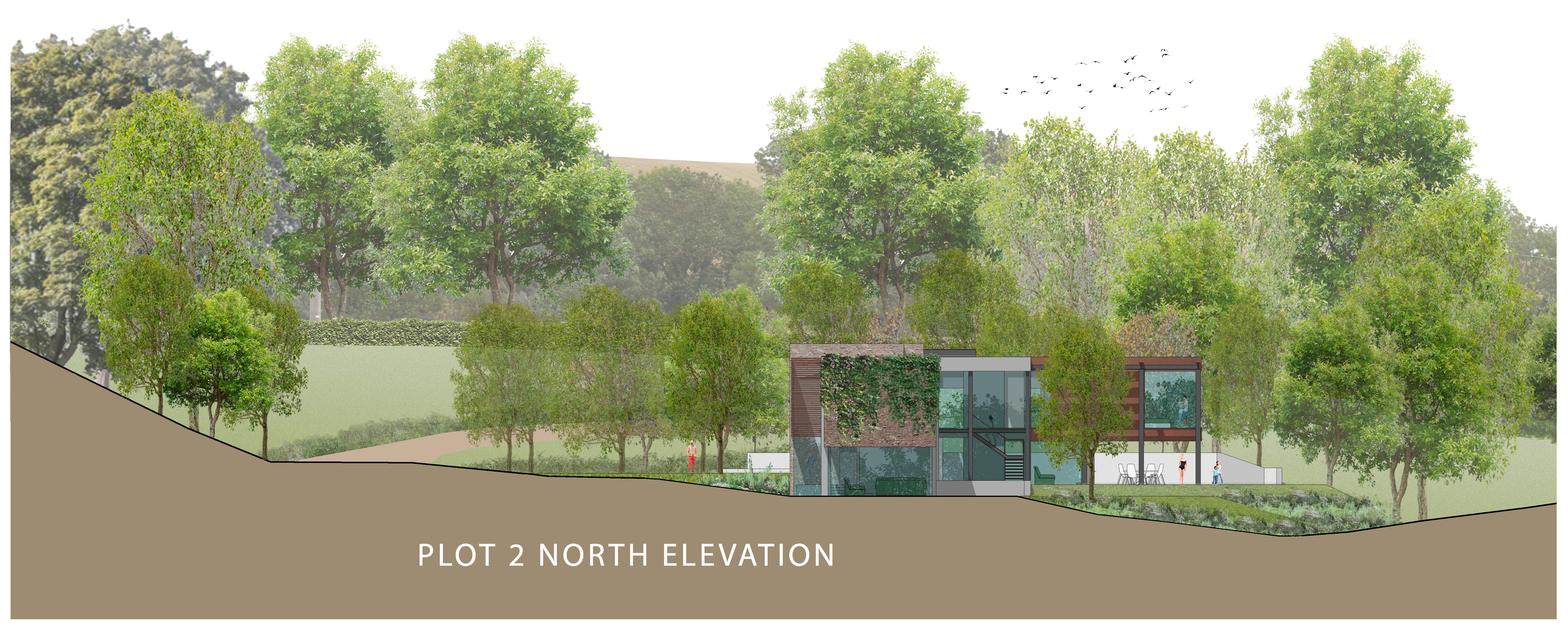
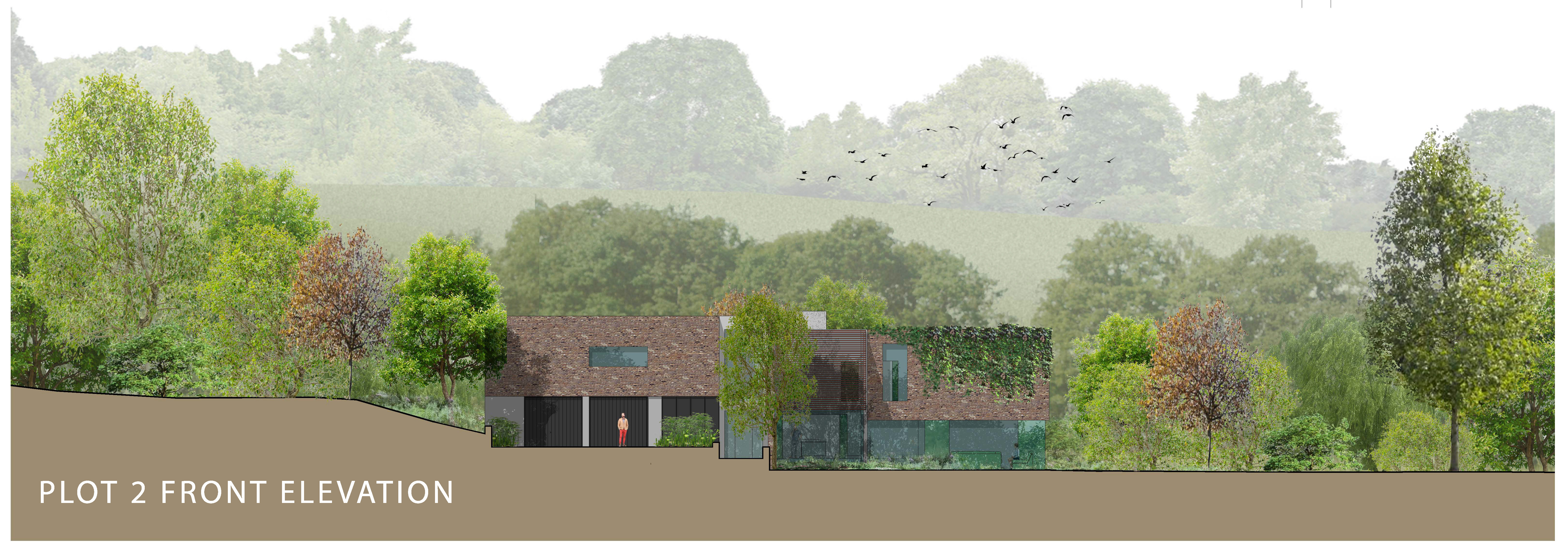
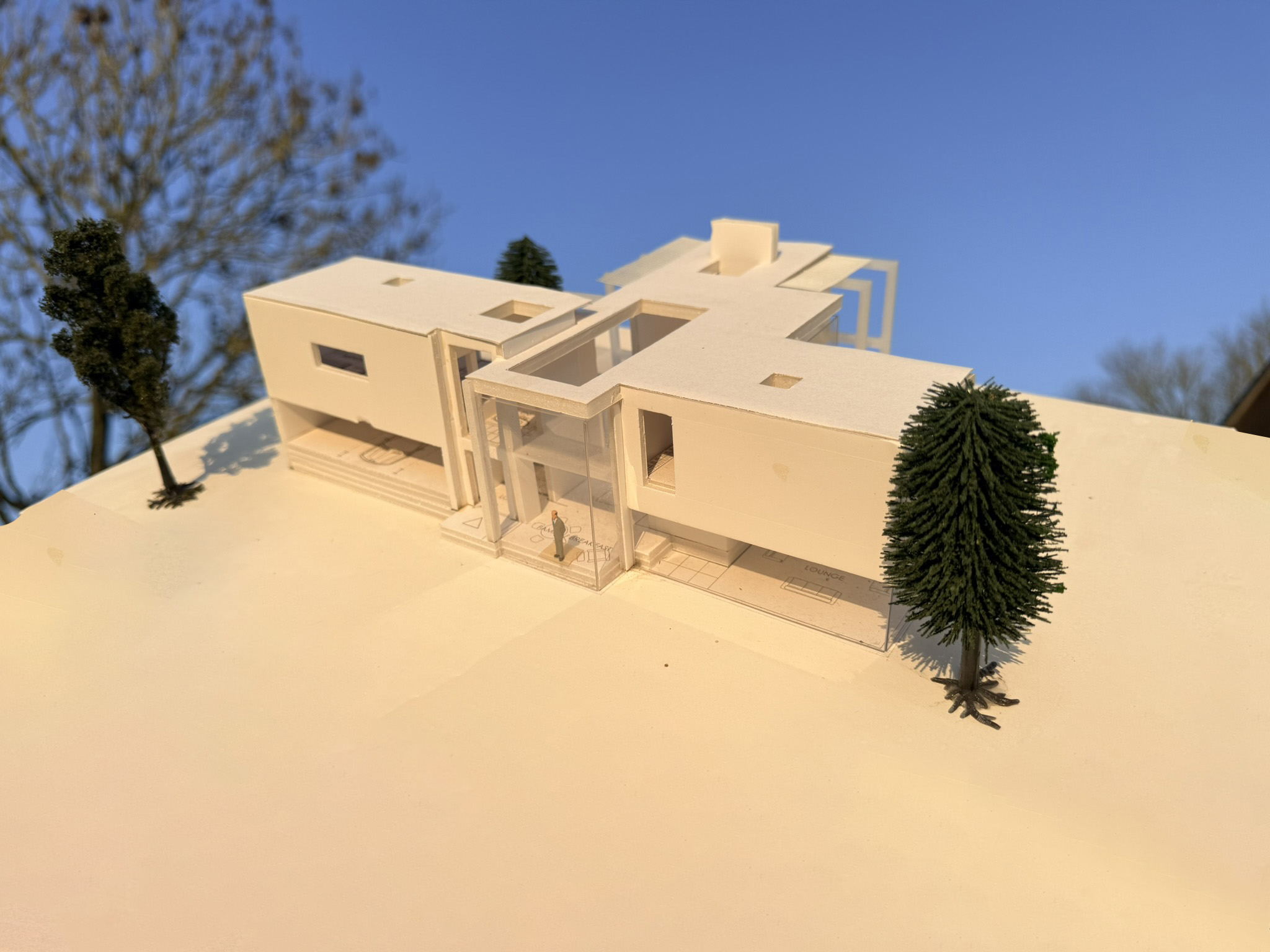
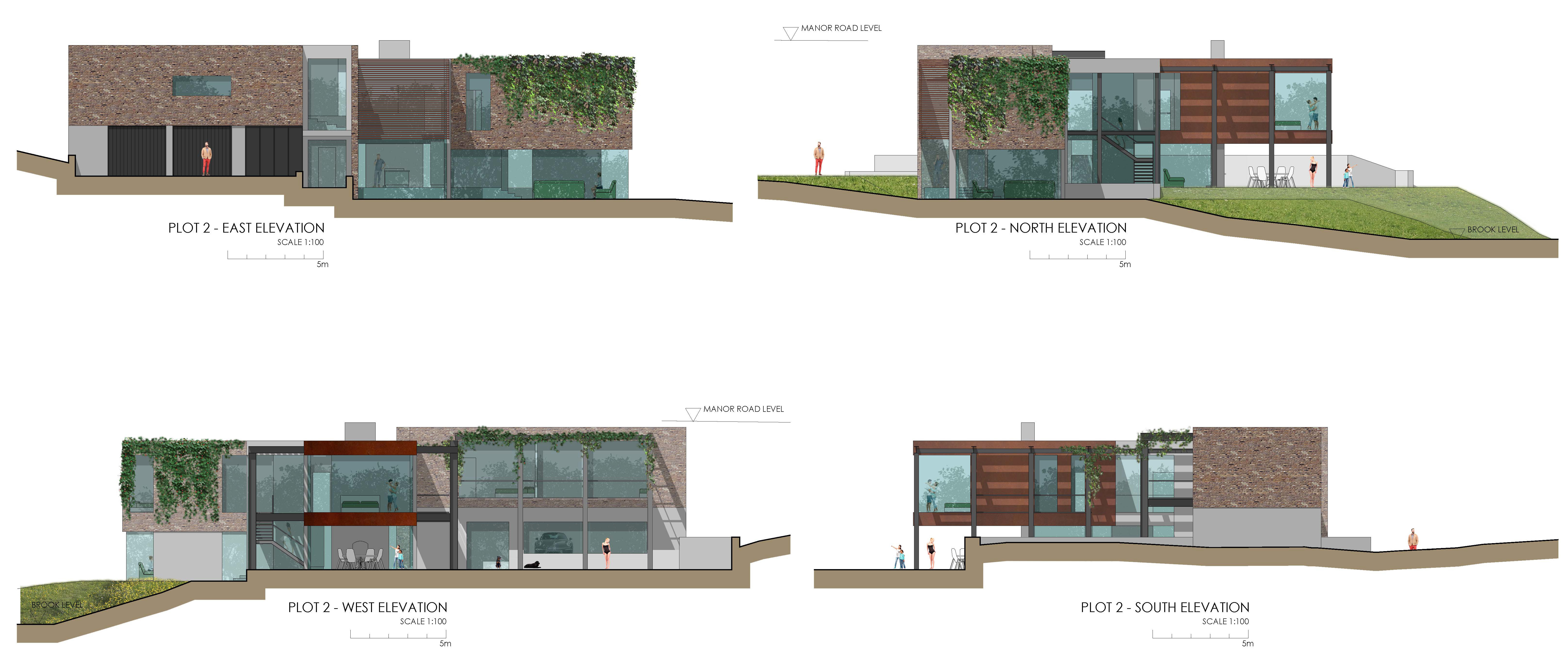
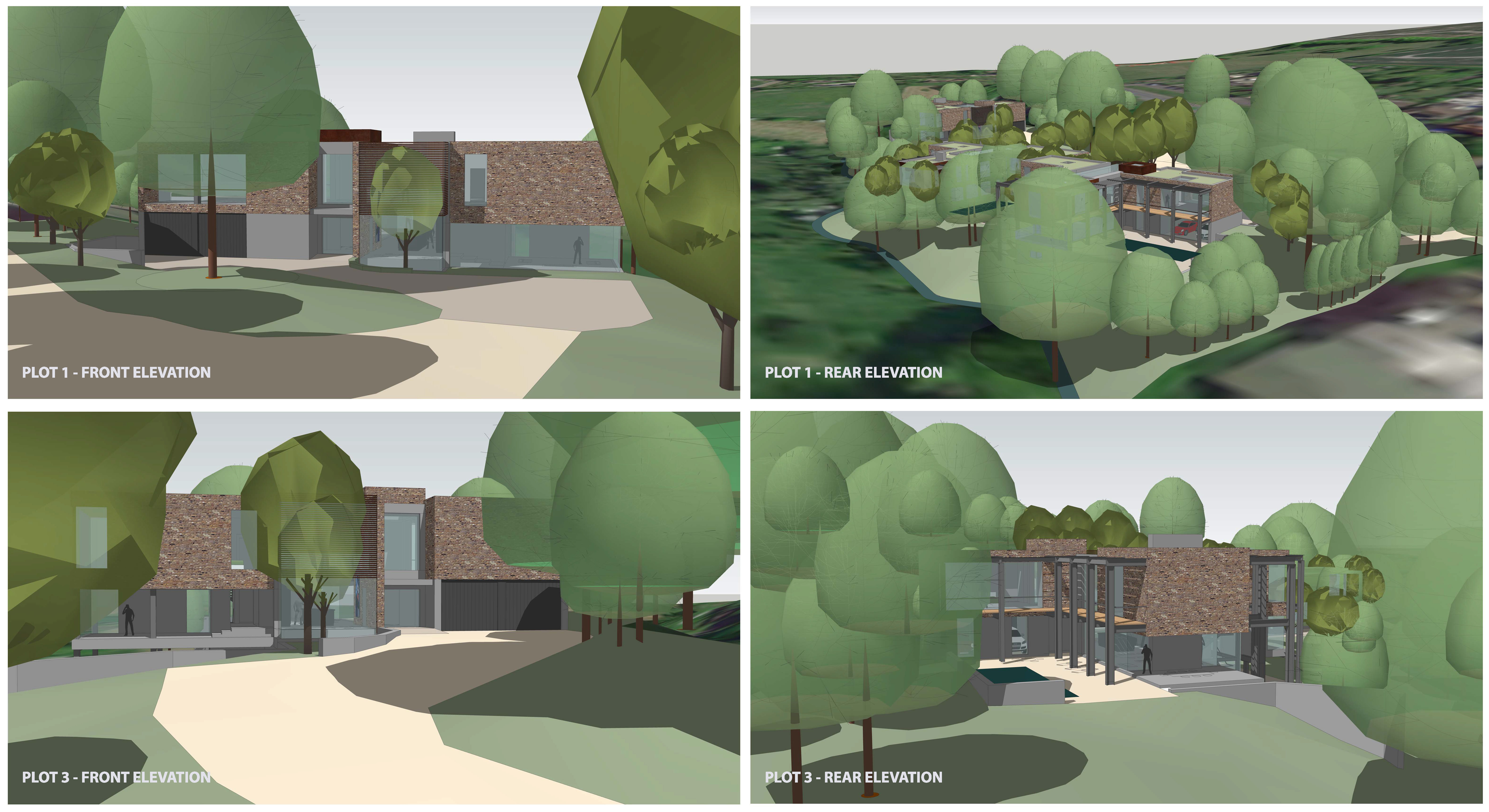
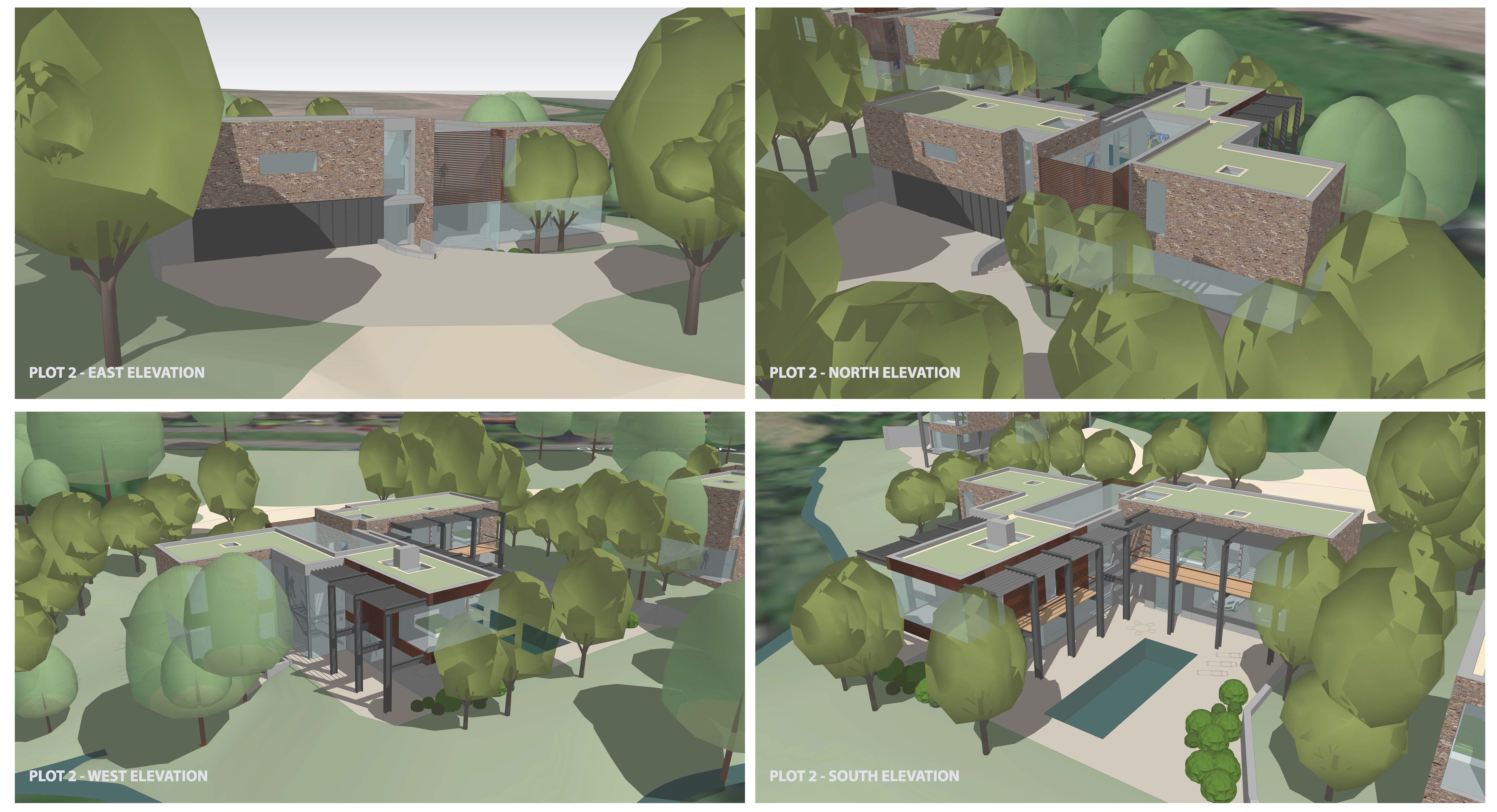
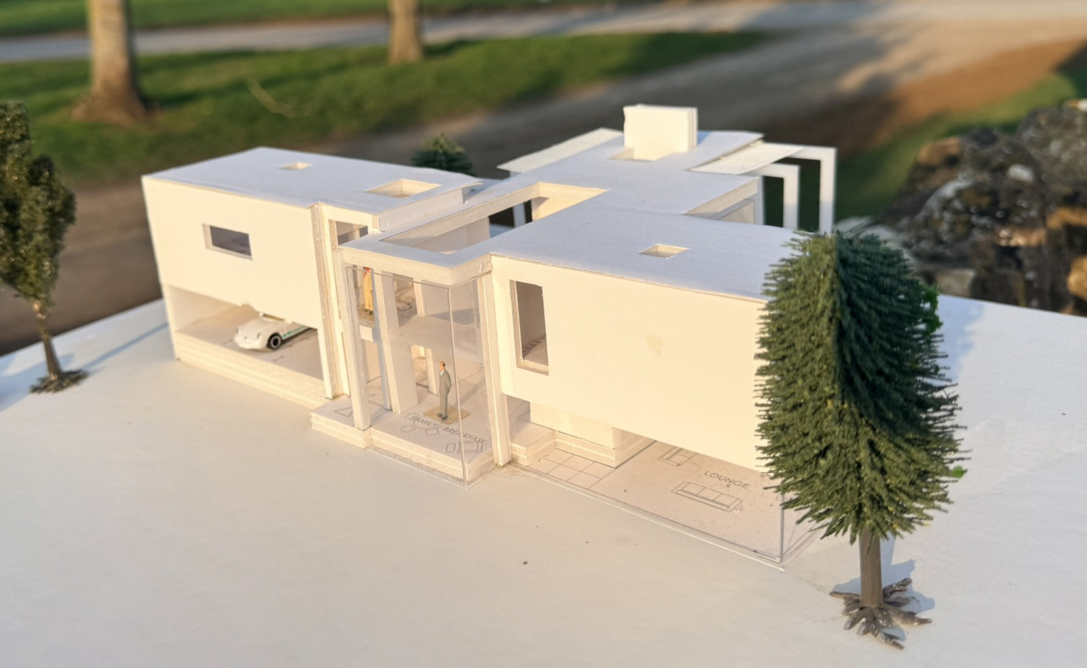
The client also instructed MF Model Design to create a physical model as they felt this would assist in talks with neighbouring properties and with the local council. A 1:200 scale model was provided and that, along with visuals taken from the SketchUp models, did help visualise & ensure that the levels of the structures would not impact the views across the site from the main road. The SketchUp and Physical models were felt to be a major factor in the designs approval for planning.